Methods
The Palloures Archaeological Project is a state of the art excavation in which we combine modern technologies with the manual craft of excavating. Grids, measurements, and drawing of features is done with a robotic total station. Detailed drawings of features and trenches are made using 3D-photogrammetry. This is done both with conventional cameras as well as by using our quadcopter drone. With this technique we create highly detailed 3D models and ortho-rectified photos. Instead of drawing on paper, these models are used for plans and sections. Additionally, all other information about features, finds and deposits is entered directly into a database using tablets in the field.
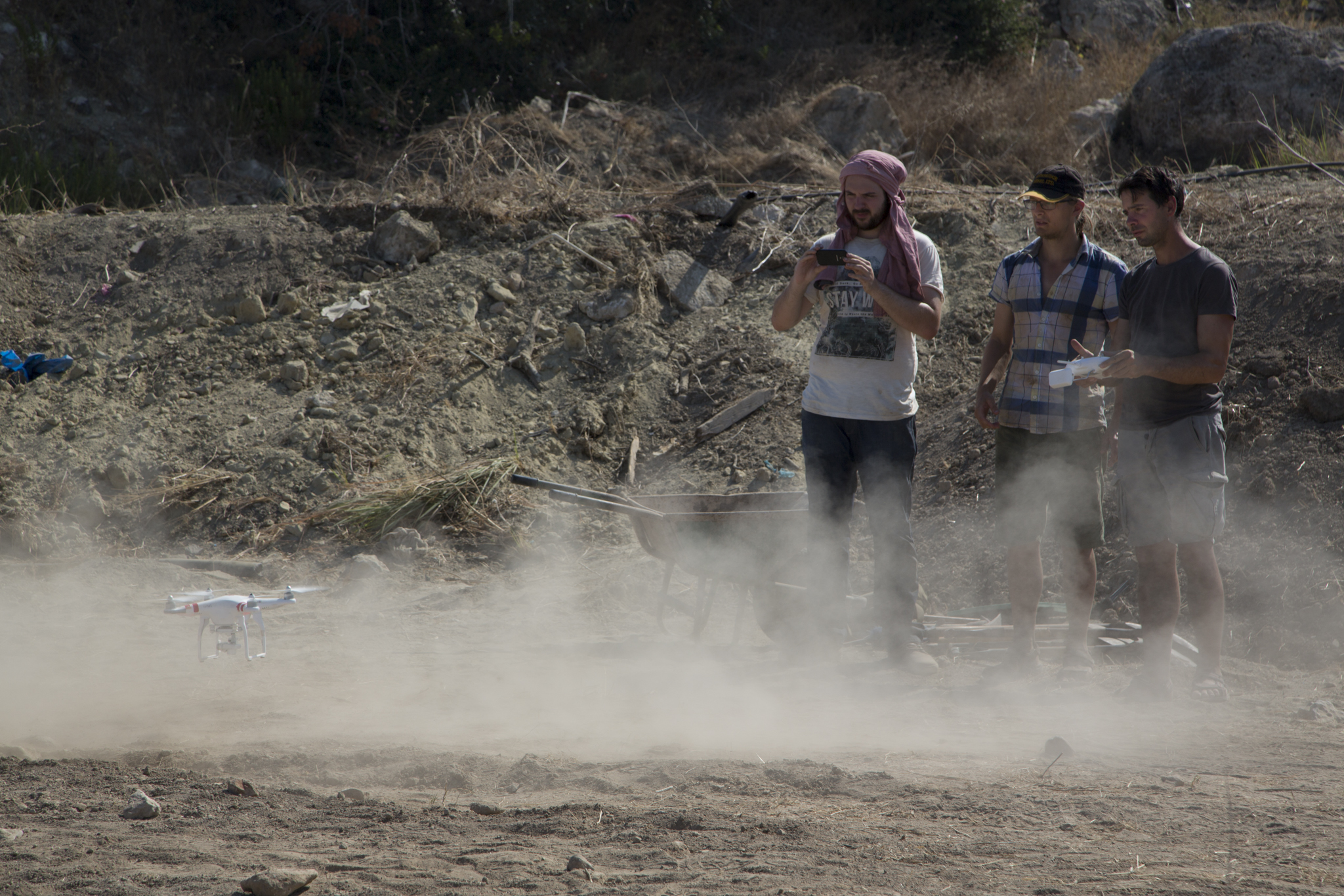
Drones have proved to be an invaluable tool for archaeologists for aerial photographs, here our drone is just taking off.
These digital innovations have helped make our research efficient and highly accurate. Old-fashioned archaeological labour and understanding are however still indispensable. Fieldwork participants are encouraged to learn about both old and new methods and are included in every stage of the research.
After excavating in the first part of the day, work continues at the base. Here, all the digital files which were created in the field are processed and backed up. At the same time, we clean the artefacts collected in the field, record the characteristics of pot sherds, bone artefacts, faunal and botanical remains, ground stones, figurines, and chipped stone artefacts into our database, and draw and photograph a selection of our recovered artefacts. The most interesting artefacts are taken to Paphos Museum to go on display.
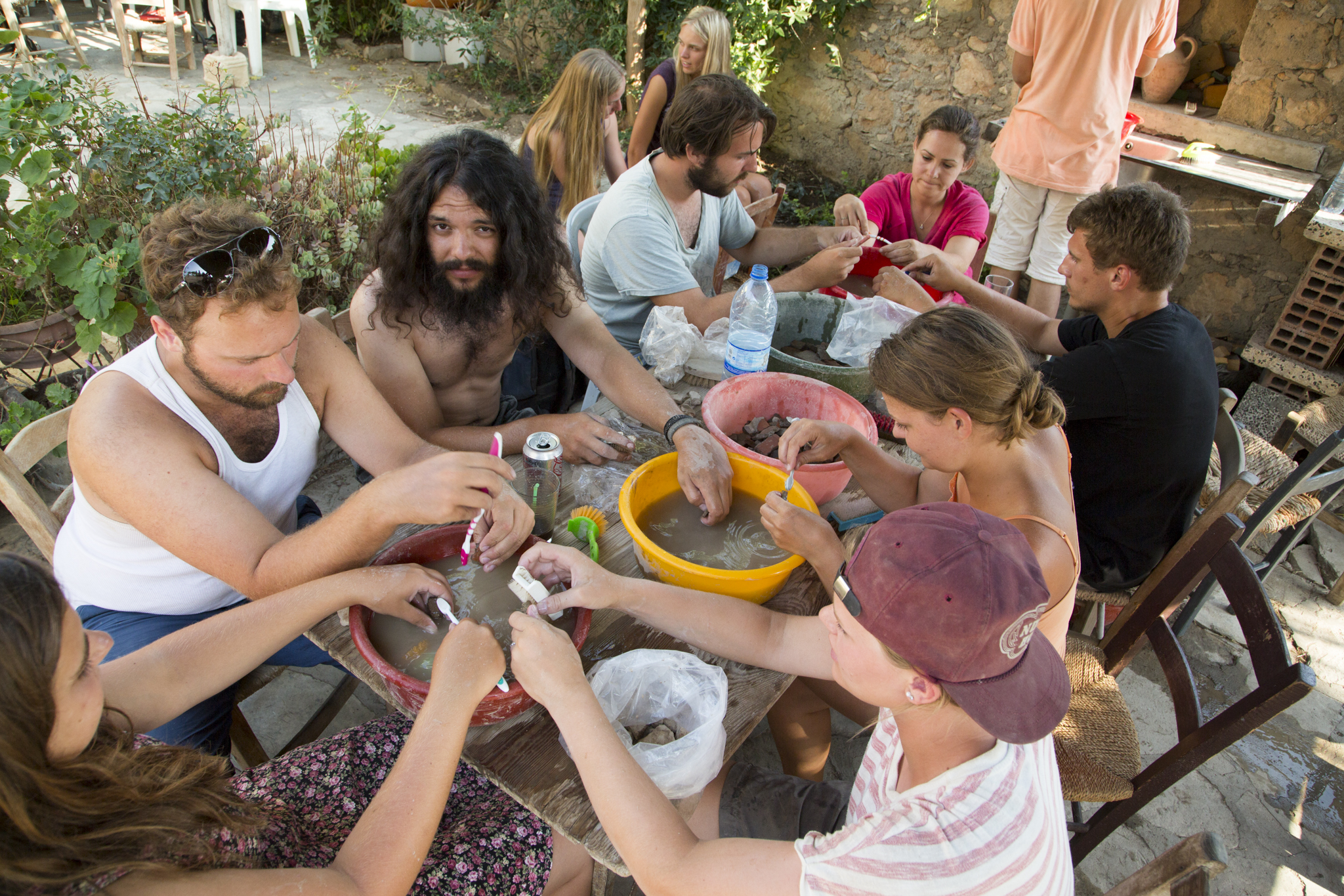
Students are washing artefacts in the courtyard of the base.